
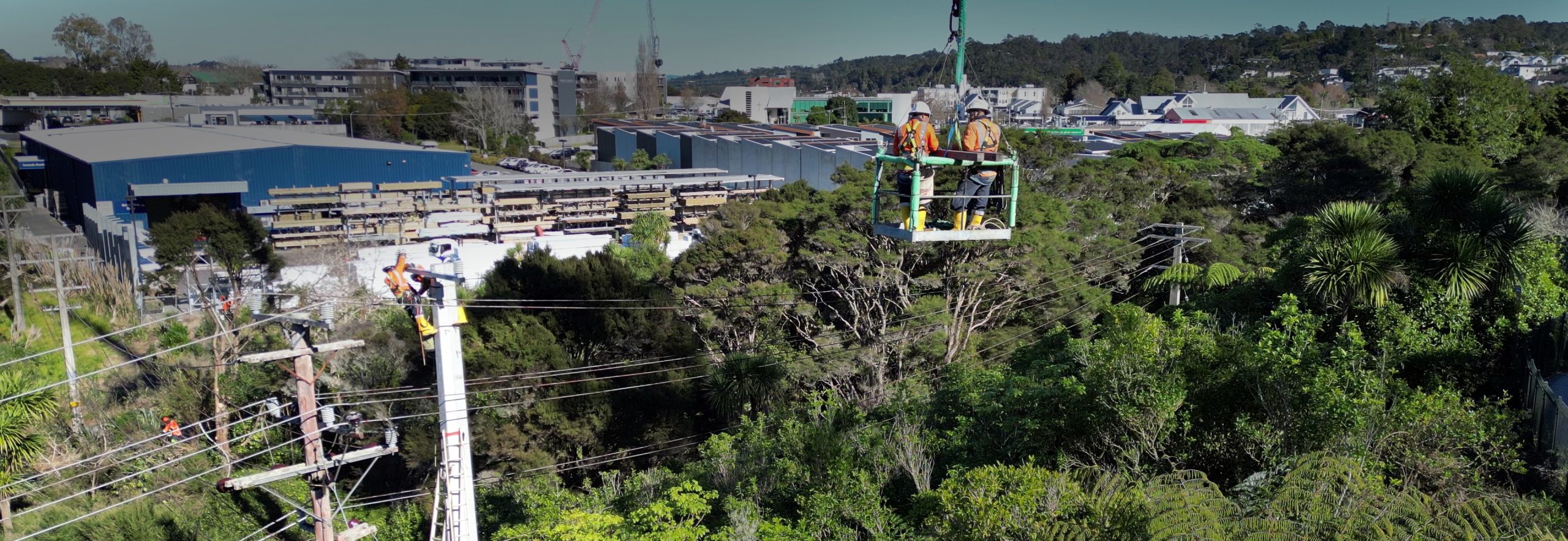
What was the problem?
- Challenge to get accurate contours of land profile of over hilly terrain to confirm ground clearances for H-pole replacement
Omexom’s solution
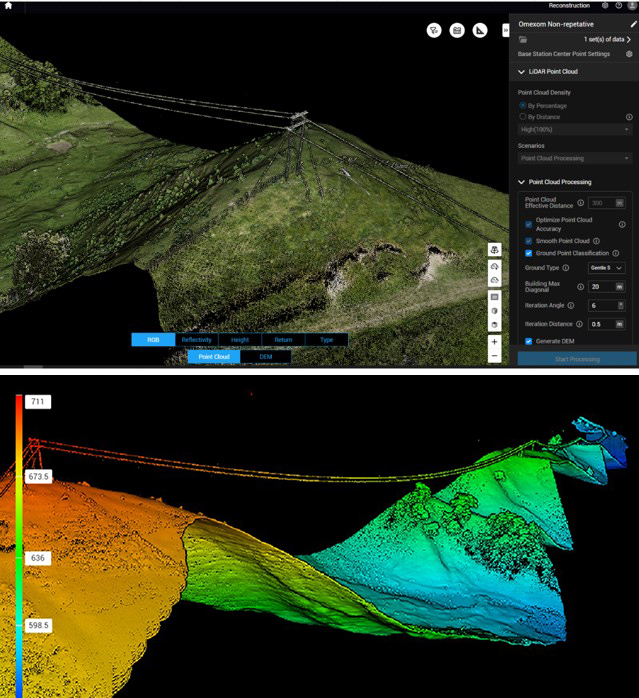
- Use of new the DJI L2 LiDAR drone to scan a 1.6km span of 10 poles
- Rapid laser pulses sent out from a lidar drone bounces off terrain and back to sensor
- Process took only 30 mins
Benefit to the client
- Speed and efficiency in data collection
- Highly accurate data
- Cost-effectiveness compared to traditional methods
- Line design was completed to high quality in less time than usual
- Reduced health and safety risks of working in steep terrain